Quote from : Bristish Museum - What is a fantasy map? by Tom Harper.
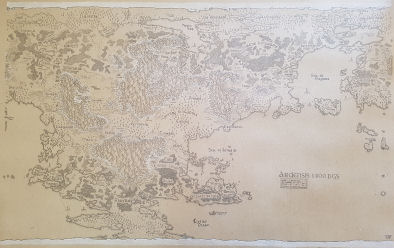
Date: May 2022
Title: Ardensis 1400 BGS
Description: Handdrawn world map of Ardensis year 1400 Before The Great Sundering (BGS).
Dimension: 100*70cm
WhereAbouts: Home
Inspiration: Mapmaking & Iconographics
Old Ardensis geography and history
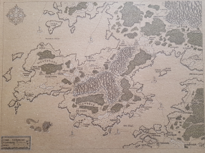
Date: November 2022
Title: Albrek Alliance.
Description: Handdrawn map of the Albrek Alliance and some of Ushar.
Dimension: 40*30cm
WhereAbouts: Home
Inspiration: Mapmaking & Iconographics
More about the Albrek Alliance...
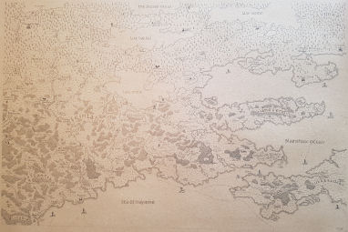
Date: June 2022
Title: Feinland and Astrantia.
Description: Handdrawn map of two nortwestern regions of Ardensis, Feinland and Astrantia.
Dimension: 70*50cm
WhereAbouts: Home
Inspiration: Mapmaking & Iconographics
More about Feinland and Astrantia...
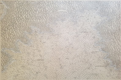
Date: June 2022
Title: Elexias and Ophaele.
Description: Handdrawn map of two central regions of Ardensis, Elexias and Ophaele.
Dimension: 70*50cm
WhereAbouts: Home
Inspiration: Mapmaking & Iconographics
More about Elexias and Ophaele...
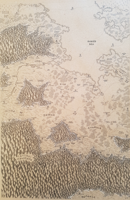
Date: June 2022
Title: Revian Alliance
Description: Handdrawn map of Northern regions of Ardensis that forms the the Revian Alliance.
Dimension: 50*70cm
WhereAbouts: Home
Inspiration: Mapmaking & Iconographics
More about the Revian Alliance...
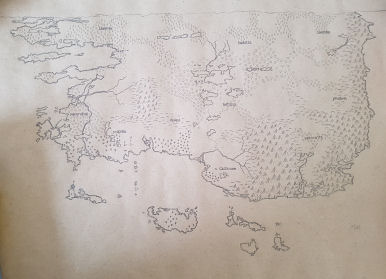
Date: December 2020
Title: Catalpa
Description: Handdrawn overview map of Catalpa, upper eastern continent of Ardensis
Dimension: 70*50cm
WhereAbouts: Home
Inspiration: Mapmaking & Iconographics
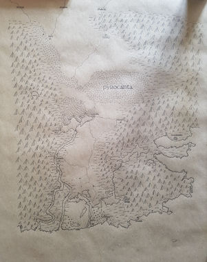
Date: Februar 2021
Title: Pyrocanta
Description: Handdrawn map of mountain area in the southeastern corner of Catalpa.
Dimension: 50*70cm
WhereAbouts: Given to my daughter.
Inspiration: Mapmaking & Iconographics
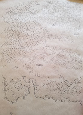
Date: April 2021
Title: Aurea
Description: Handdrawn map of central mountain region of Catalpa called Aurea.
Dimension: 50*70cm
WhereAbouts: Given to my farther and his new wife
Inspiration: Mapmaking & Iconographics
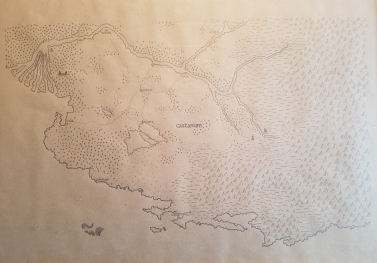
Date: March 2021
Title: Castanum
Description: Handdrawn map of southern central jungle region of Catalpa called Castanum.
Dimension: 70*50cm
WhereAbouts: Home
Inspiration: Mapmaking & Iconographics
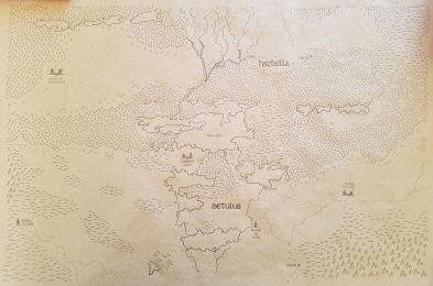
Date: April 2021
Title: Betulus and Hirtella
Description: Handdrawn map of two regions from the central plains of Catalpa.
Dimension: 70*50cm
WhereAbouts: Given to my farther and his new wife
Inspiration: Mapmaking & Iconographics
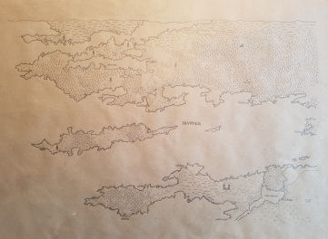
Date: March 2021
Title: Lavimea
Description: Handdrawn map of forest region in north western Catalpa called Lavimea.
Dimension: 70*50cm
WhereAbouts: Home
Inspiration: Mapmaking & Iconographics
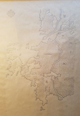
Date: May 2021
Title: Surunghat
Description: Handdrawn map of western oceanic region of Catalpa called Surunghat.
Dimension: 70*50cm
WhereAbouts: Home
Inspiration: Mapmaking & Iconographics
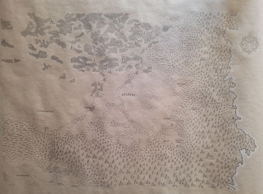
Date: June 2021
Title: Photinia
Description: Handdrawn map of mid eastern region of Catalpa called Photinia.
Dimension: 70*50cm
WhereAbouts: Home
Inspiration: Mapmaking & Iconographics
Date: June 2021
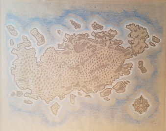
Title: Lavimea Island
Description: Handdrawn map of mountain island south west of the Lavimean coast.
Dimension: 40*30cm
WhereAbouts: Home
Inspiration: Mapmaking & Iconographics
Date: July 2021
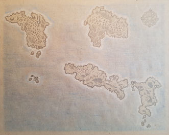
Title: Surunghat Islands
Description: Handdrawn map of group of small islands west of Surunghat
Dimension: 40*30cm
WhereAbouts: Home
Inspiration: Mapmaking & Iconographics
